
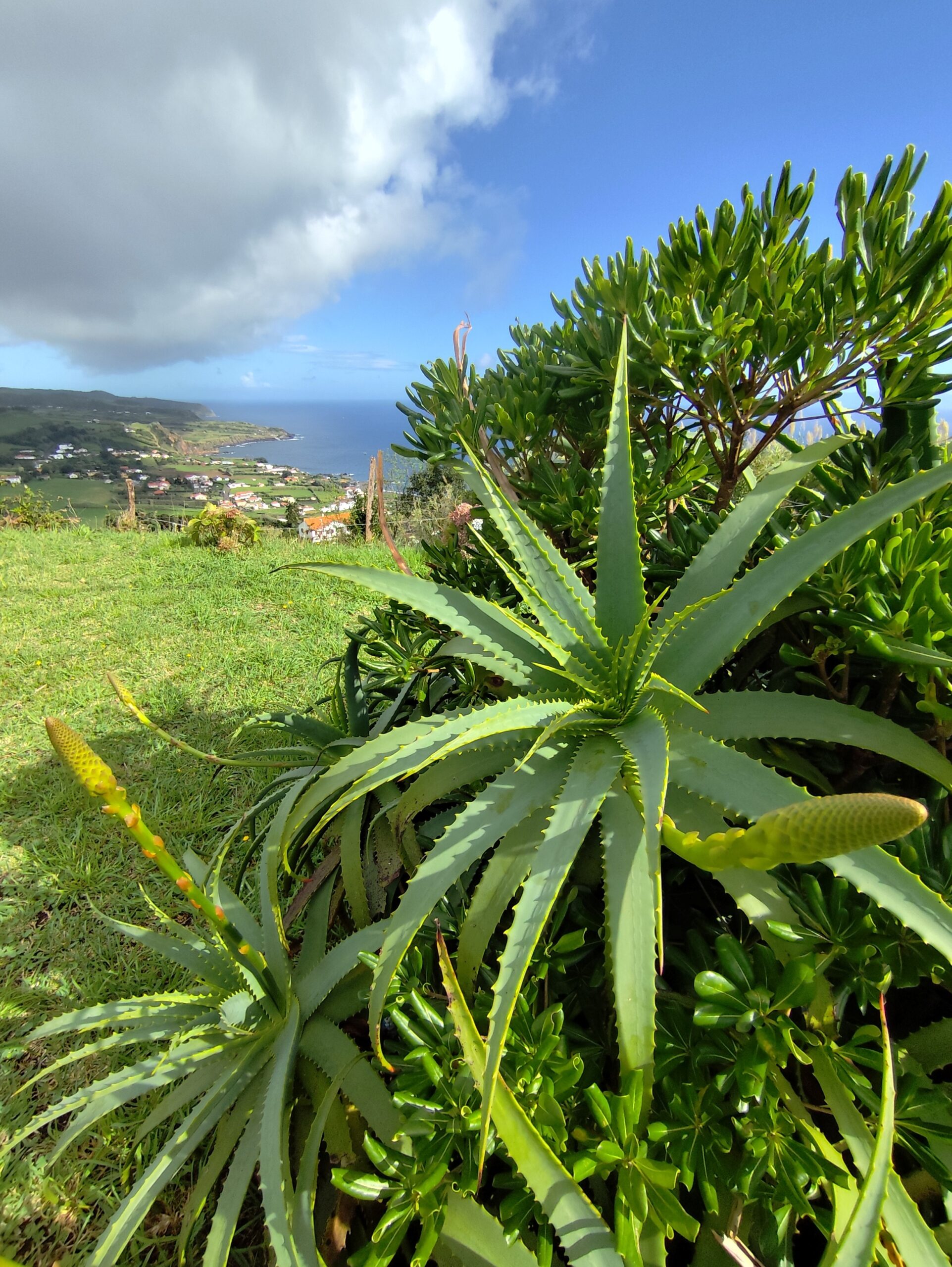
Another slice of the world. This time three days trekking in the Azores while my wife Marta and our friends Marco and Franco, with his son Alberto, ran the Triangle Adventure trail, three stages on three islands: Fajal, Pico and São Jorge, in the central archipelago. Flight Malpensa–Lisbon with TAP, then Lisbon–Ponta Delgada (São Miguel) with SATA. At 7 p.m., transfer by twin‑engine plane to Horta city on Fajal. Massive delays on all three flights but stunning views…
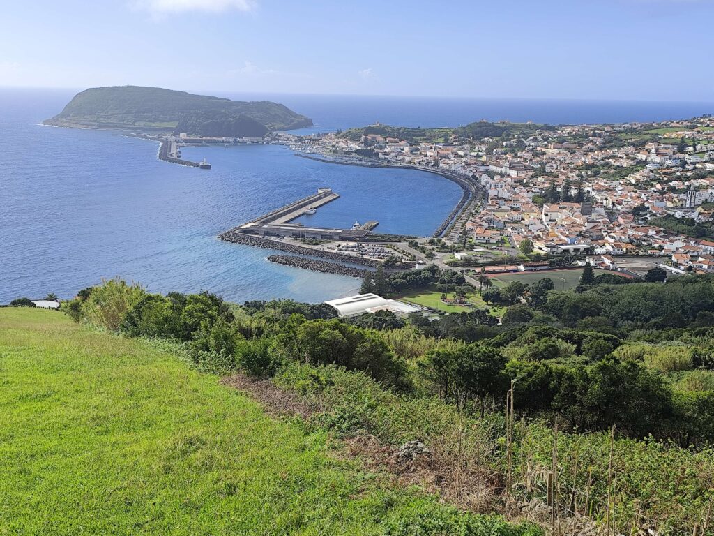
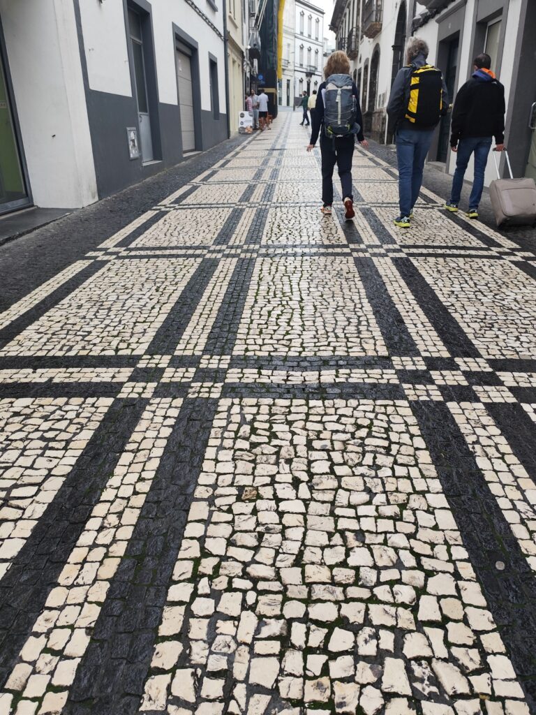
In the evening we walk around Horta, on the island of Fajal. Warm and humid, over 20°. The atmosphere is very relaxed, it really feels like a “retreat” for retirees. Cobblestone streets of black and white lava stone, just like the houses. Light rain. Colorful sardine tins brighten up the shop windows.


Walking down to the ocean.
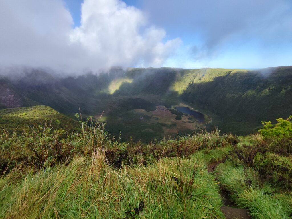
The next day is a rest day. We climb through green pastures dotted with white cottages and then a dense planted forest to reach the caldera of the extinct volcano Cabeço Gordo, over 1000 meters above sea level. At the bottom of the caldera, 300 meters lower, there is a small lake. Constant wind, unpredictable weather.
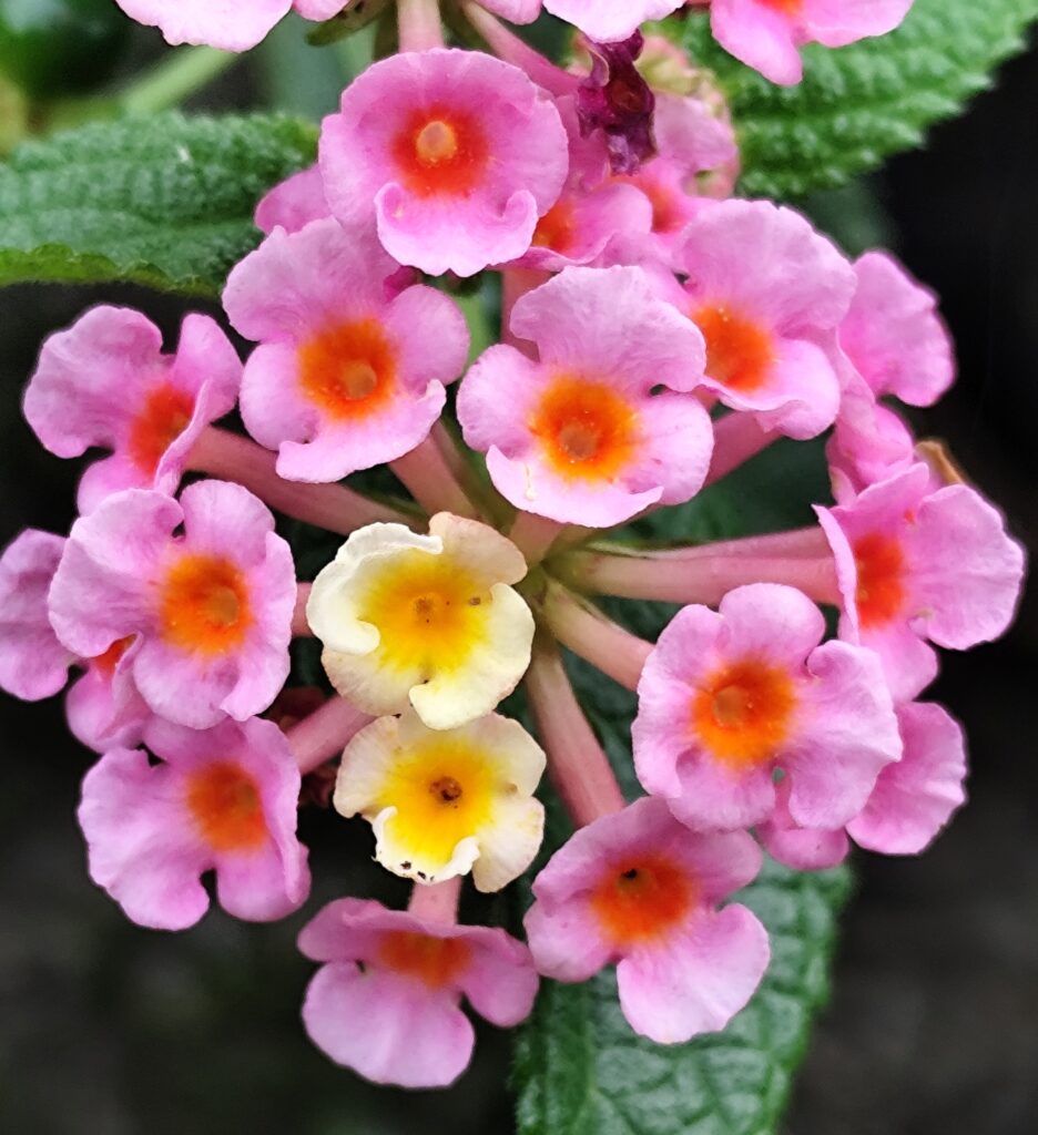
Again, the atmosphere of the island is almost too relaxed: no cars, no railway, no businesses… apart from Horta, a small town of 15,000 people, the rest of the island is dotted with scattered farms. Life is based on livestock, herding, fishing, and above all tourism (though not at this time of year). Beautiful flowers and tall hedges of hydrangeas (but they bloom in May…).
Friday. First stage of the trek and first race day. From Horta we take the ferry to the island of Pico, docking at the town of Madalena. Without delay I set off, following for a while the trail marked with red flags. I head quickly toward the base of Pico, also an extinct volcano and the highest mountain in Portugal (2351 m above sea level), surrounded by lush vegetation. Heavy showers and warm sunshine alternate at intervals of less than an hour.

At the junction with the forest track that follows the contour line at 850 meters above sea level, I turn left and descend through the pastures until I reach the asphalt road linking Madalena with the far end of Pico Island. Tall hedges of yellow and blue hydrangeas line the way. After a few kilometers, the path leads onto a track across the fields, with the ocean gradually coming into view, watched by white, spotted, and beige cattle. I pass through a few simple rural gates and continue down toward Sâo Roque do Pico and then Prainha. The Azoreans say the sea is both a prison and infinity, and walking here I understand that thought.
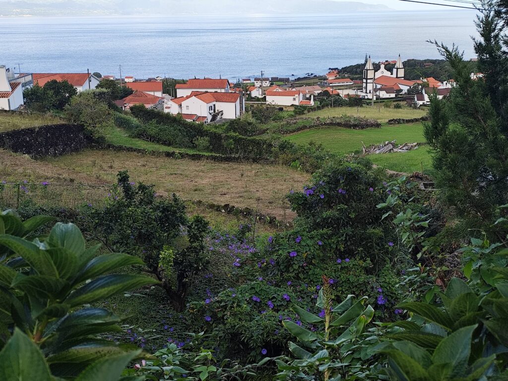
The next day, Saturday, we board the morning ferry to Velas, on the island of São Jorge. The sea is restless, whipped by strong winds. We drive across the island toward the village where the race will begin, at the far end. I wave goodbye to my friends and start my trail near Calheta, about 400 meters above sea level, then climb along a perfectly rolled red forest track until I reach the ridge—the backbone of this long, narrow island, within the Park. It is a magnificent high-altitude trail, around 1000 meters above sea level, with glimpses of both ocean-facing sides of São Jorge. Here and there rise volcanic scoria cones. The path winds through forests of Azorean laurel, their lush undergrowth. The weather, as always, is mercurial—bursts of rain, sudden shafts of sunlight, and rainbows arching across the sky. What strikes me most are the countless shades of green, from deep and shadowy to bright and radiant. Eventually, the descent begins. I pass through Santo Amaro, a small hamlet of farmers, with grazing cows and chickens scratch in their coops, before returning to Velas.
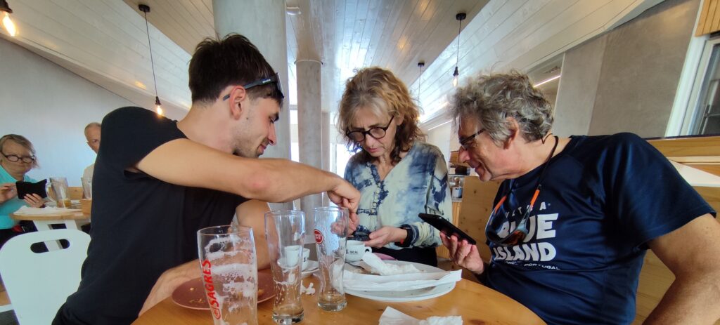
We had dinner at a place in downtown Velas. Salads, soup of the day… beer. Ate well and spent little!
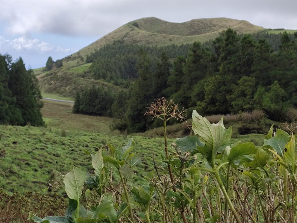
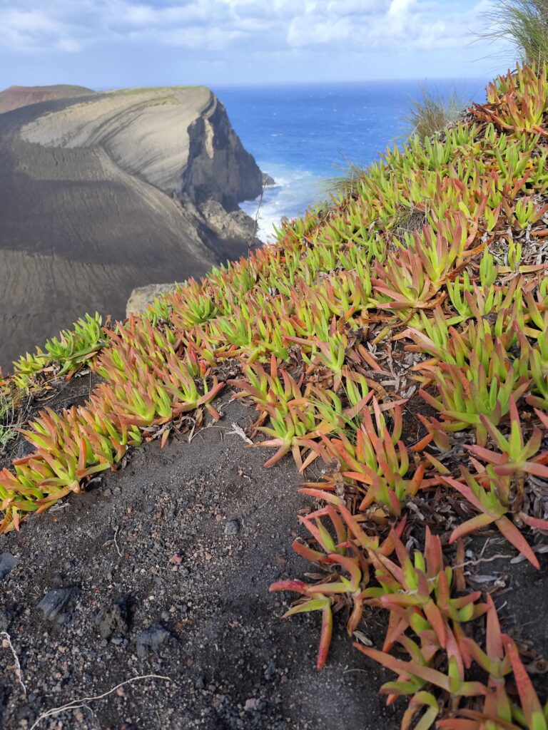
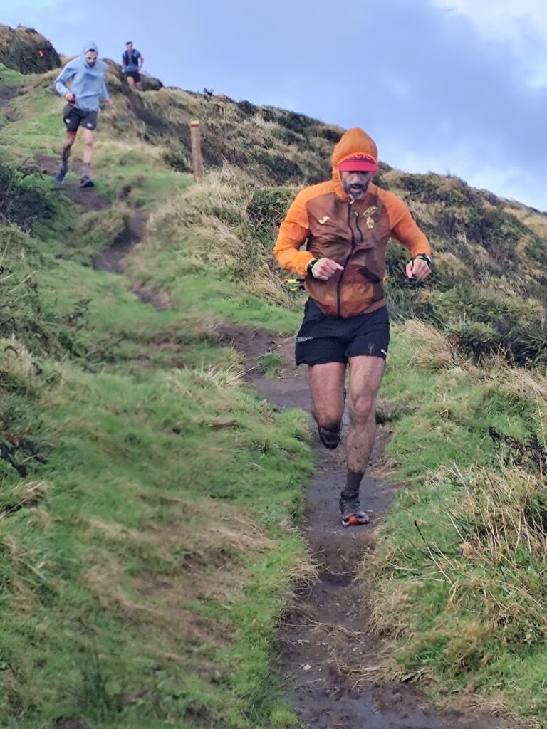
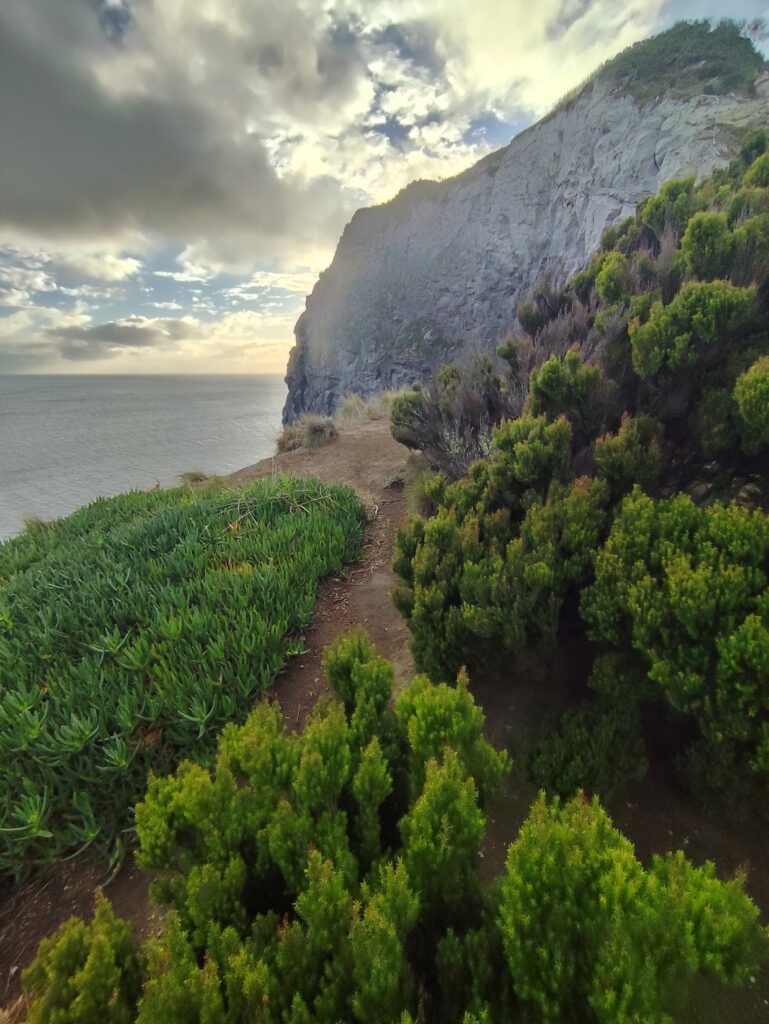
It’s Sunday, the last day of the race and of my trek. From Velas we take the ferry back to Horta on the island of Fajal (this time the sea is calm), then we drive to Cabelhinos, a barren tongue of lava stretching into the sea for a couple of kilometers, the result of the 1956 eruption. I set off from Cabelhinos around 10:30 while the athletes are having their pre-race briefing. I slip into low vegetation of Azorean laurel to climb up Cabeço Verde. Leaving the race course I had followed until now, I skirt the mountain first on asphalt, then again on trail, and once more on winding asphalt roads to reach the rim of the caldera at about 850 meters above sea level. Here I meet the first trail runners leading the race. The wind is very strong—said to be 100 km/h—standing upright is difficult. Then I descend along a red road of switchbacks with a magnificent view of the ocean and Ilha do Pico.
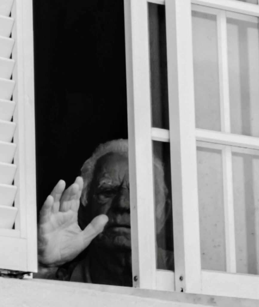
Last day in the Azores. A Monday of rest, in Horta on Faial. The day begins with a walk up Monte Guia, overlooking the caldera invaded by the sea. This too is a protected area. Behind the mountain lies Porto Pim, with a meteorological observatory and the old whale factory. Alberto points out an old man at the window. I greet him and steal a shot. It will come out well, in black and white, with that raised hand returning my greeting. We have lunch at Peter’s, the iconic bar where all transoceanic sailors gather, each of them leaving behind a gadget, a sticker while drinking some gin… and along the waterfront, on the concrete pier, a painted square to seal their achievement. Then we return to Cabelhinos, hoping to admire the sunset, but the sun is hidden by clouds, the wind blows, and the black sand scours us. We head back, then to bed. Tomorrow we return to Canavese, Italy, knowing we’ve found a good place where it would be easy to be forgotten…


Memories of transoceanic crossings along the waterfront of Horta.
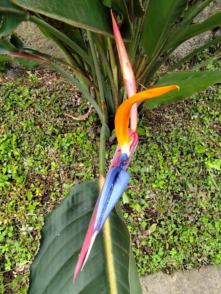
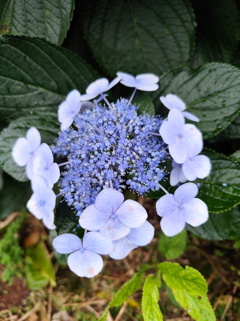
On the left: strelitzia flower. On the right: hydrangea serrata (“ortensia di montagna”)
Start the discussion